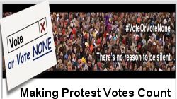
Restore Britain The ONLY party for British patriots to vote into future UK government. Restore Britain BranchesThe first local NORTH DEVON Restore Britain BRANCH MEETING was held 26 May 2026 and was very well supported. If you live in North Devon and have not joined Restore Britain yet then enter your postcode above then click the link to JOIN Restore Britain to receive local branch details.
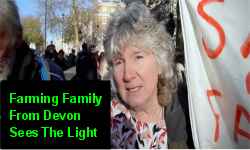
Mae Hargreaves expresses the same feelings as hundreds of thousands of ... disappointed ex-members of UKIP, ... betrayed ex-members of Brexit Party ... and the horrified/disgusted ex-members of Reform UK. and why they are joining Restore Britain ......
How to watch RT News on TV. Switch on TV. Select "Menu" then Select "Web Browser". When the web browser opens then in the input box enter " https://rumble.com/c/RTNews " then press "Enter". Add to "Favourites".
Better with NO TV BROWSER censorship .... use tv as monitor connected to your computer with an HDMI cable to watch RT News on Rumble✓ in a browser that allows free speech. No TV license required. If links or videos do not load in your web browser then download BRAVE web browser to see all. BRAVE web browser download If you are blocked in your web browser from seeing rumble.com then refresh your webpage (press F5). ← Adjust Quality for better reception. 640x360
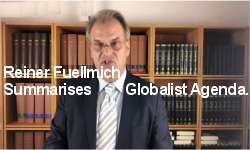
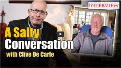
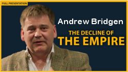
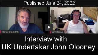
Sovereign Project with Andrew Bridgen and Karen DoddMUST SEE Andrew Bridgen and Karen Dodd have a conversation with the soverign project team Pete Stone and Karl Deans, and discuss how the system works and a possible way out with the encroaching tyranny.
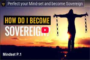
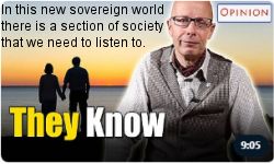
Stop being a slave and become sovereign. Only you have the power to become sovereign but we can help show you the way.
Sovereign Natural Empowerment This series of videos will help you to see there is remedy in knowledge, knowledge of the truth, knowledge of true law. And we can use their legal sytem against them, against the ones who use it against us. Sovereign Natural Empowerment, and learning to stand in our own power, is arguably the most important thing we can do for ourselves and for humanity right now.
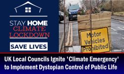
More and more we are seeing our rights eroded as spurious laws pass almost uncontested through our Parliament often without any consideration of public opinion let alone public consultation.
Taking back control of our lives is empowering and builds resilience and courage when hope can often be at a low ebb. Join Ruth to explore how to find your voice, articulate your rights and be heard.
Feel confident again knowing your inalienable rights can never be infringed upon and learn how to insist they are respected.
Reclaiming Your Freedom! (2 books) by Jeremiah Strong (Author)
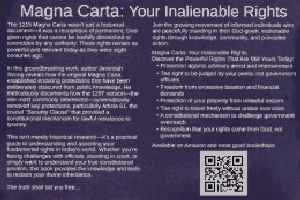
Magna Carta - Your Inalienable Rights: Reclaim your freedom... by Jeremiah Strong (Author) Discover the Powerful Rights That Are Still Yours Today:
Protection against arbitrary arrest and imprisonment
The right to be judged by your peers, not government officials
Freedom from excessive taxation and financial demands
Protection of your property from unlawful seizure
The right to travel freely without undue restriction
A constitutional mechanism to challenge government overreach
Recognition that your rights come from God, not government
Sovereign England?: From Oak Trees to Admiralty: The Hijacking of English Law. by Jeremiah Strong (Author) Probably the most important book you will read to reclaim your freedom.
Wake Up To The Hidden Truth of how your God-given freedoms were systematically converted into government-granted privileges!
For those with eyes to see and ears to hear, Jeremiah Strong pulls back the veil on one of history's greatest deceptions: the gradual hijacking of England's divine system of justice and its replacement with a corporate administrative machine designed to control rather than serve.
This is not conspiracy theory - it's documented historical fact.
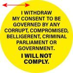
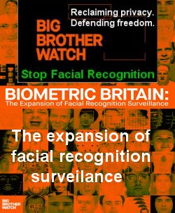
SAY NO TO DIGITAL ID.
Mass Non Compliance MUST SEE !!. This is a sustained campaign, not a one-day stunt. Mass Non-Compliance RESIST GUIDEResist The Surveillance State: 100 Ways to Fight Digital ID! This website will host everything you need to know about digital ID; the facts, the risks, and how to resist the surveillance state. You'll find a wealth of material: the original documents that lay out their plans, annotated and translated into what they really mean. It will be a one-stop shop for action; a full campaign toolkit.
Here you will find leaflets, posters, stickers, banner and board designs, and more - spelling out what Digital ID means, what those behind it want, and the future we inherit if we do not resist.
This is a sustained campaign, not a one-day stunt. This is a campaign of mass non-compliance. Stand firm. Stay fearless. Stay undistracted. Stay united.
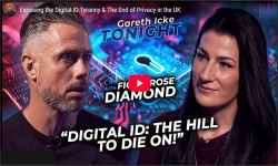
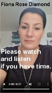
Exposing the Digital ID Tyranny & The End of Privacy in the UK. Gareth Icke Activist Fiona Rose Diamond joins Gareth in the Ickonic Studio to discuss the personal toll of activism, including arrests, and shifts focus to the urgent fight against digital IDs, calling it "the hill to die on".
She warns of tyranny through fraud and force, urges informed consent, and stresses collective action to prevent total control.
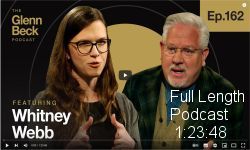
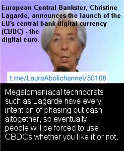
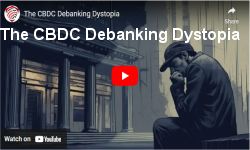
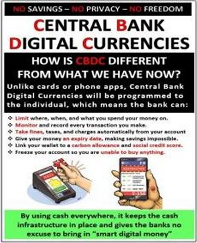
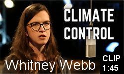
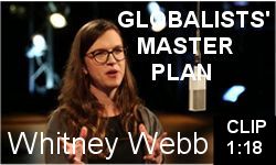
Whitney Webb. The entire UN 2030 Agenda rests on one cornerstone: your voluntary adoption of Digital ID. As Whitney Webb powerfully argues, they are investing billions to sell you on its "convenience." They'll pitch it as the solution to illegal migration, voter fraud, and cybercrime. But this is a sales pitch for a surveillance prison. Digital ID is the essential key that unlocks: - Programmable, surveillable central bank digital currencies (CBDCs). - The framework for a social credit score system. - Predictive "pre-crime" policing and "pre-pandemic" healthcare mandates.
They learned from the vaccine passport rollout. The strategy is the "carrot," not the "stick" - making compliance easy and resistance seem inconvenient. They want you digitally dependent, isolated, and connected only through the virtual world they control.
But their greatest fear is our non-compliance. The power remains with us. We must build resilient, real-world lives and communities that function outside of this.
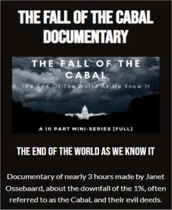
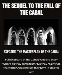
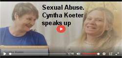
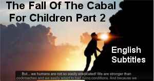
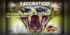
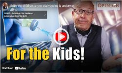
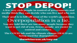
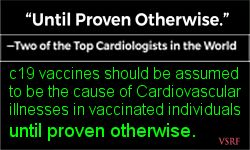
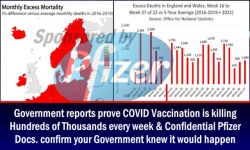
THE SEQUEL TO THE FALL OF THE CABAL. Part 17: Depopulation - Extinction Tool Number 10, Vaccination.MUST SEE ! Last but not least: Extinction tool number 10 on our list: Vaccinations. One of our most chilling episodes about the dangers of vaccinations. Not based on theories or beliefs, but on rock hard scientific facts. We promise you, once you�ve seen this episode, once you know what ingredients are in those shots, you�ll never take another jab in your life! This part 17 has been called by thousands of viewers world-wide "a life saviour" ...
By Janet Ossebaard & Cyntha Koeter
Andrew Bridgen - Starmer The Warmonger - FreeNZ MUST SEE. An interview with Liz Gunn (FreeNZ) and Andrew Bridgen. This interview is 1 hour length so be sure to allow time to watch it all. So much truth ... ashamed of Britain.
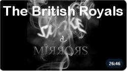
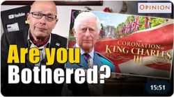
Keir Starmer's systematic breaking of Britain, King Charles, the Ukraine Corruption, Trump, & much more.
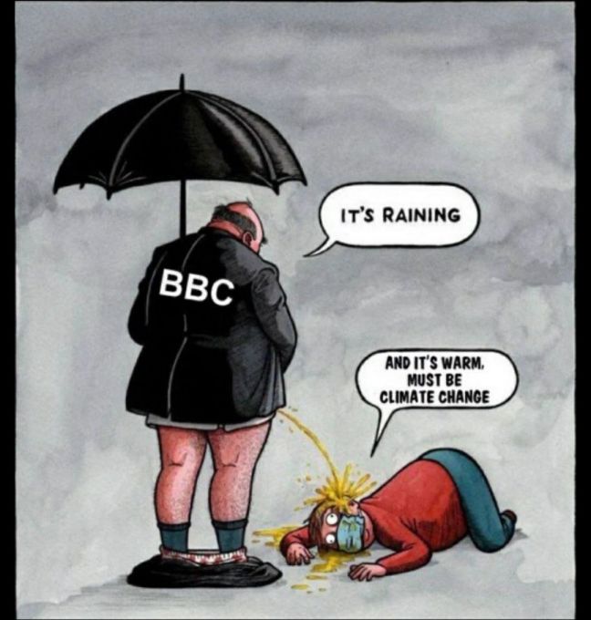
How to feel happier in the UK ... STOP watching ALL TV channels, MSN and National Press.
Cancel your UK TV licence Watch selective social media (such as RT News on Rumble ) to seek the truth. SEE BELOW ...
How to watch RT News on TV. Switch on TV. Select "Menu" then Select "Web Browser". When the web browser opens then in the input box enter " https://rumble.com/c/RTNews " then press "Enter". Add to "Favourites".
Better with NO TV BROWSER censorship .... use tv as monitor connected to your computer with an HDMI cable to watch RT News on Rumble✓ in a browser that allows free speech. No TV license required. If links or videos do not load in your web browser then download BRAVE web browser to see all. BRAVE web browser download
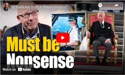
Trump NUKES Post-War Order: King Charles Exposes British Hand in Desperate Effort to Stop Trump. Promethean Updates.
In this episode, Susan Kokinda uncovers the hidden forces behind perpetual global conflicts, highlighting Britain's role in sustaining wars and destabilization.
She discusses Trump's direct intervention to deescalate the Iran-Israel crisis, his challenges to NATO's Article 5, and Britain's escalated military cooperation with Ukraine.
The video emphasizes Trump's efforts to challenge the post-war globalist order and restore true sovereignty for America.
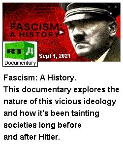
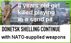
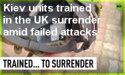
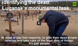
I Blame Nazism - RT Documentary This film is based on the testimonies of civilians from the Kursk Region who experienced the Ukrainian occupation, as well as confessions from the criminals themselves, the militants of Kiev forces. It presents facts and evidence of the crimes committed by Ukrainian nationalists on Russian soil. In August 2024, the Ukrainian Armed Forces invaded Russia's Kursk Region, gaining control over 28 populated areas, including the district center, the city of Sudzha. According to the Russian Defense Ministry, Ukrainian units advanced 12 kilometers into Russian territory. Ukrainian nationalists subjected several thousand people to torture, abuse, and humiliation, with many victims losing their lives. The exact number of civilian casualties is still unknown. After the liberation of Kursk Region, evacuation teams continue to find bodies in almost every house, many of which still need to be identified. "I live like I'm in a solitary cell. Everything feels familiar, but there is no gas, no water, no electricity ... I cry every day and ask for death ... There are no clocks. Then I lay under the bed." These lines were written by Tatyana Vaskova, a 77-year-old resident of the village of Martynovka in the Sudzha District, during the occupation. Her diary was found by Russian soldiers next to her body. She did not live to see her village liberated.
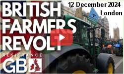
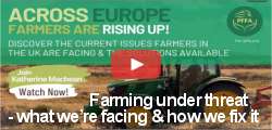
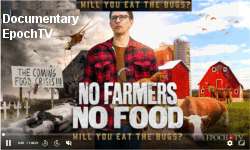
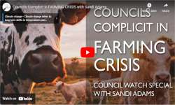
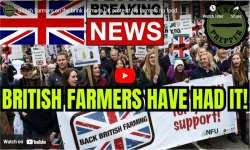
UK FARMERS NEED US ! .... AND WE NEED THEM !! .... no farmers - no food !
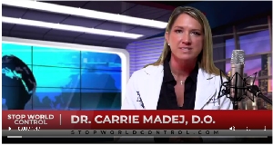
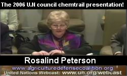
Claire Edwards, BA Hons, MA, worked for the United Nations as Editor and Trainer in Intercultural Writing from 1999 to 2017.
Claire warned the Secretary-General about the dangers of 5G during a meeting with UN staff in May 2018, calling for a halt to its rollout at UN duty stations.
She part-authored, designed, administered the 30 language versions, and edited the International Appeal to Stop 5G on Earth and in Space.
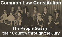
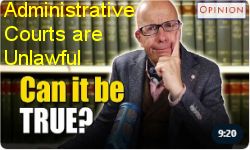
Section Start of Common Law Of The Land. Highly Recommended Viewing For Everyone. Share this with everybody.
It is time for our government & sovereign to account to the people for all that they are doing. The government are servants of the people.
The Occulted Powers of the British Constitution (pdf) The primary purpose of our Common Law constitution is to preserve the people's liberties, and the inverse expression of this is really to define the limits of government power.
Clearly, the aim is to prevent a situation in which the government itself could be infiltrated by powerful interests. The machinery of government and public servants themselves (either unwittingly perhaps - or with full knowledge but by bribery or blackmail) could then be used by those infiltrators to exert power over the people.
The central issue, then, is how much power does the government mechanism itself have.
To limit government itself is to protect the people.
William Keyte Youtube videos that explain the above pdf document.
William Keyte. Justice System Enquiry: Warning and Details
Tribute To A True Sovereign. Karen-Ruth Skolmli. Karen-Ruth Sk�lmli passed away on 27 January 2024. Today few may know Karen-Ruth Skolmli, but one day many will. After winning the battle against cancer for a period, allowing time to share her wisdom, dear Ruth passed away. Ruth will be missed by so many. In her passing, she leaves a mighty legacy for the benefit of all humanity.
Richard Vobes with Ruth Skolmli: Your Rights In 20 Seconds There is much confusion about the law, and your rights.
Common Law appears baffling or too simple to be true. Ruth Skolmli has been studying common law for years and explains just what it is, and why it is so empowering.
Karen-Ruth Skolmli Videos Common Law (Judiciary) versus True Common Law (of the Land). Sovereign Natural Empowerment, and learning to stand in our own power, is arguably the most important thing we can do for ourselves and for humanity right now. More and more we are seeing our rights eroded as spurious laws pass almost uncontested through our Parliament often without any consideration of public opinion let alone public consultation. Taking back control of our lives is empowering and builds resilience and courage when hope can often be at a low ebb. Join Ruth to explore how to find your voice, articulate your rights and be heard. Feel confident again knowing your inalienable rights can never be infringed upon and learn how to insist they are respected.
Sovereign Natural Empowerment Courses Introduction. This series of videos will help you to see there is remedy in knowledge, knowledge of the truth, knowledge of true law. And we can use their legal sytem against them, against the ones who use it against us.
Section End of Common Law of the Land.
On August 3, 1977, Cathy O'Brien testified to the 95th U.S. Congress to accuse Hillary Clinton of rape, and that she was a sex slave for Hillary and Bill Clinton 'who are bisexuals' affiliated in an elite sex trafficking ring that abuse and purchase and sacrifice children.
Since Trump announced that he's pledging to seek the DEATH PENALTY for all child r*pists and traffickers in every state as President, I'm sure they will face the trials first! --- as well as many others to come!
The Judgment Day is coming!
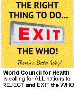
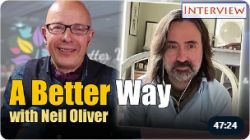
Better Way Conference 2023. Watch On Demand FREE. ALL EIGHT UNFORGETTABLE CONVERSATIONS ARE NOW FREE TO WATCH.
Dozens of hours of FREE video content from the historic second Better Way Conference that took place in Bath, UK in June of 2023.
The Sovereignty & Referendums Bill. A bill to 'Prohibit Ministers of the Crown from making or implementing any legal instrument which is not consistent with the sovereignty of the United Kingdom Parliament unless it has been approved by referendum' has been proposed through Ten Minute Rule by MP Andrew Bridgen. MP Andrew Bridgen will continue to fight for the sovereignty and integrity of the British people and for this Bill to be given the reading and support it deserves... and we need your help! You will find information here on the progression of the bill. Subscribe for updates and to find out how you can support. We will not be asking the public for any donations.
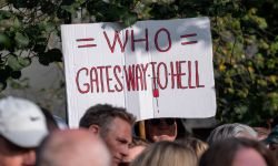
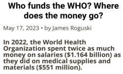
Petition. End the UK's membership of the WHO
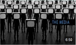
The frightening power of television The box in the corner is controlling us if we watch it. Jemma Cooper, ex-TV News Presenter, joins Richard Vobes to talk about the power of media manipulation and how television is programming us.
Cancel your UK TV licence
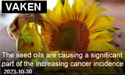
Vaken.se strives to shed light on information that is otherwise not depicted through ordinary media but which is of fundamental importance for the individual's free decision-making process.
Countdown To ControlThe countdown to complete control is underway. MUST SEE >>> Download Countdown To Control (pdf)Download Countdown To Control Links (pdf) Are you a victim of government & media coercion? Were you persuaded to get a jab you didn't need? How else might propaganda be coercing you into accepting things that aren't in your best interests? The assault on our freedoms comes in many guises and covers many different aspects of our lives. For those who are just waking up to what is going on, we have tried to summarise it all for you. Just click on any of the words to delve into the Why, Where, When, How and Who of What is going on. Then consider the What Ifs?.....and start to come up with some of your own. While we hope our interactive graphic is comprehensive, please do not consider it to be exhaustive. We are all still peeling back the many layers of deception. Every day reveals new insights, uncovers new psyops and surprises even the most avid rabbit-hole explorers.
THE GREAT RISING.MISSION STATEMENT. To put in place an effective strategy that will swiftly mobilise millions of truth and freedom activists to overwhelm and collapse in a peaceful manner the planned 'Great Reset' of the World Economic Forum along with the criminal anti-human agenda currently being rolled out by the corporate globalists. This will be done by carrying out lawful actions of mass non-compliance at a local level and through the creation of new, parallel systems that make existing and corrupted systems of state control completely redundant.
The Documentary 7/7 Ripple Effect Regarding the 7 July 2005 terrorist attacks in London ..... let us look at the facts, and what we were told, and compare them. Then, using Ockhamâs Razor and common-sense, let us see what conclusions are to be drawn, so we can all understand what most likely really did happen that day. Verint Systems is the security firm that is responsible for the CCTV surveillance cameras, in the London Underground rail network, and it is an Israeli company, with approximately 1000 employees. No CCTV footage of the four Muslims boarding the tube-trains has been released by Verint; who claim that their cameras were not working. Why? Because the four Muslims were not on the tube-trains that blew up.
The initial message containing the story of the trial of the author of the documentary Dr Mike Yeadon Telegram Post about the 7/7/2005 Ripple Effect documentary.
Join The Sovereign Fraternity There is a solution to the tyranny we're experiencing throughout the world today and it's within the grasp of everyone who is willing to work towards it. We believe this begins with unity and the first step in our mission is to unite those who wish to be free through the Sovereign Fraternity.
If you pledge to be proactive and take the oath to do no harm, keep your word and help your fellow sovereign, then you will not be alone on the journey towards becoming free and you will enjoy the Fraternity benefits.
This DECLARATION by the British Constitution Group to Restore the Rule of Law in the United Kingdom was witnessed and unanimously endorsed by around five hundred people at the Guildhall, Winchester, on the 19th of November, 2016. Democracy Defined Campaign
Illegal arbitrary dispossession of homes, fabricated financial crises, unwarranted taxation, unemployment, and intolerable government molestation in the lives of innocent men and women, are all addressed herein. The catastrophic criminal inhumanity wrought upon whole populations by that miniscule number of men and women responsible for, and responsible for permitting (abetting) the Crime of Usury (money-lending-at-interest); fraudulent Fractional Reserve Lending; the issuance of national (and international) currency and credit at interest by non-national, de facto privately-owned "Central" Banks; the ubiquitous global crimes and lethality of International Monetary organisations and World Bank are confronted.
However, above all, it is the criminality of participants in the latterday "Justice" Systems which is exposed.
Due to the false preachings of modern politicians, you might have a completely mistaken idea of what democracy really is - many people do. This website brings home the realities. The information provided enables you to judge for yourself whether you live in a democracy or whether your government is a despotism, and what you can do about it.
The Winchester Declaration (pdf)What professional politicians daren't tell you ....(pdf)
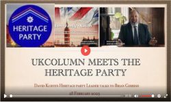
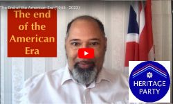
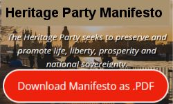
There has never been more of a need for a common sense party which stands for defending our history and heritage, traditional family values, and protecting freedom of speech and civil liberties. This is the Heritage Party
WAKE UP !! HISTORY PRIOR TO WW2 IS REPEATING TODAY
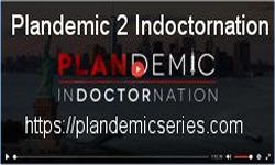
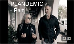
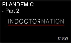
PlandemicSeriesOfficial on plandemicseries.com The first PLANDEMIC, a 26 minute documentary, has been seen by over one billion people worldwide, setting a historic record.
The premiere of PLANDEMIC 2: INDOCTORNATION set streaming records with 2 million viewers attending the global livestream.
The series is accredited for being first to warn the world of the crimes against humanity that are now being brought to light.
PLANDEMIC 3: THE GREAT AWAKENING is currently in production, scheduled for world-wide release Fall 2022.
Welcome To Westland Farm.Taking You Back to Nature. We are a small working farm on the edge of the Exmoor National Park, near to the North Devon Coast. Our aim here is to enable you to wind down and reconnect with nature.
Camping A unique countryside camping experience on a family run farm. No designated pitches, plenty of space to play and unwind, with a luxury toilet and shower block. A friendly welcome awaits!
Glamping Stay in our romantic Mongolian yurt, our comfortable farmhouse Bed and Breakfast room or our home built, and utterly charming Shepherd Hut or Drovers Hut, both with private hot tubs. You can even bring your own tent or caravan and camp in one of our fields. Whatever you decide, you'll enjoy the same sense of tranquility and blissful back-to-nature simplicity. The Shepherd Hut, Drovers Hut and Yurt are close to a babbling brook - a great place for children to build dams or play pooh sticks. There are farm animals to meet and in lambing season, lambs to feed, several people have been lucky enough to see lambs being born.
The Tarka Trail Over 30 miles of the Tarka Trail is available to cyclists and walkers between Braunton and Meeth, using the old railway routes of North Devon. Passing through the largely unspoilt countryside as it was described by Henry Williamson website in his classic novel 'Tarka the Otter' websitefirst published in 1927.
The Tarka Trail by Trailtrash website 8 Youtube videos of the Tarka Trail
Bicycle Shops Bike It website Barnstaple
Bike Shed website Barnstaple
Halfords website Barnstaple
Planet Bike website Barnstaple
Cycles Scuderia website Bideford
South Fork Racing website Braunton
Cycle Hire Bideford Cycle Hire website Biketrail website Croyde Cycle Hire website Tarka Trail Cycle Hire website Torrington Cycle Hire websiteThe North Devon Biosphere Tarka Trail website Shared use section between Braunton and Meeth website Guidance for users Code of Conduct for Tarka Trail users website Guidance for horse riders website Tarka Trail vegetation management website
Tarka Audio Trail website
Along the Tarka Trail are 21 "discovery posts" with information on the history and wildlife of the Trail and the places it passes through. Each post has a number on the top that relates to an audio clip where you can find out more. These clips have been recorded by people involved in the management and heritage of the trail including Northern Devon Coast & Countryside Service, The Environment Agency, North Devon Museums, The RSPB, Natural England and Butterfly Conservation. Download these clips to your MP3 player or phone and find out about some of the things that make the Tarka Trail a unique experience
Devon County Council Tarka Trail website Tarka Cycle Trail Braunton to Meeth websiteBideford Railway Heritage Centre & Instow Signal Box website Bideford Railway Heritage Centre manages the Bideford station site and Instow signal box, both of which are on the former railway line from Barnstaple to Bideford in north Devon. The old railway line is now part of the popular Tarka Trail and so our two sites provide points of interest to cyclists and walkers alike, as well as to the more general visitor. In particular there are a visitor centre, interpretation centre and cafe at Bideford station.
Tarka Trail website (from Wikipedia, the free encyclopedia)
The Tarka Trail is a series of footpaths and cyclepaths around North Devon that follow the route taken by Tarka the Otter in the book of that name. It is a figure-of-eight route, based on Barnstaple, and covers some 31 miles (50 km) of path. The route covers a wide variety of landscapes, including: wooded river valleys, rugged moorland, coastal cliffs and sandy bays. Walking varies between easy and strenuous, depending on the location, but, in general, it is comprehensively waymarked.
The trails are now a popular tourist destination and bicycle hire businesses are available for those who wish to cycle along suitable sections of the trail. A section of the Trail is part of National Cycle Network route number 27 and forms part of the Devon Coast to Coast Cycle Route, a 102-mile (164 km) route from Ilfracombe, in the north, to Plymouth, in the south, largely using former railway lines.
Several sections of disused railway line have been utilised to create the trail. These have the benefit of being relatively flat, with only small uphill and downhill gradients. The paths also run across many former railway bridges, which command notable views over various rivers and valleys. A number of the stations on the route have been restored or rebuilt. Former railway sections include: Ilfracombe Branch Line-between Braunton and Barnstaple. Bideford Extension Railway-between Barnstaple and Bideford. North Devon Railway-between Bideford and Torrington
From Braunton, the path follows the western bank of the River Caen, which was straightened to become the Braunton Canal in the 1850s, before following the northern edge of Horsey Island, reclaimed from the estuary at the same time. The path then turns north along the eastern edge of Braunton Burrows, an extensive sand-dune system leased by the Ministry of Defence for army training.
 North Devon UK


")


 Restore Britain website. https://www.restorebritain.org.uk/


 How to watch
  RT News on TV. Switch on TV. Select "Menu" then Select "Web Browser". When the web browser opens then in the input box enter " https://rumble.com/c/RTNews " then press "Enter". Add to "Favourites".
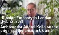
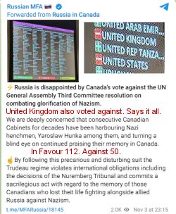
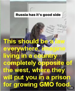
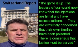
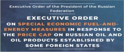
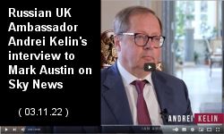
 The Embassy of the Russian Federation to the United Kingdom of Great Britain and Northern Ireland


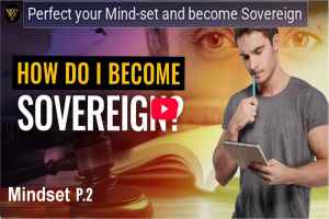
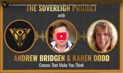 Sovereign Project with Andrew Bridgen and Karen Dodd MUST SEE
 Sovereign Natural Empowerment
This series of videos will help you to see there is remedy in knowledge, knowledge of the truth, knowledge of true law.
Sovereign Natural Empowerment
This series of videos will help you to see there is remedy in knowledge, knowledge of the truth, knowledge of true law.
 Magna Carta - Your Inalienable Rights:
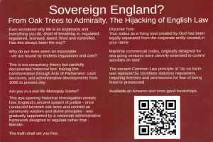 Sovereign England?: From Oak Trees to Admiralty:
 Mass Non Compliance MUST SEE !!. This is a sustained campaign, not a one-day stunt.
 Exposing the Digital ID Tyranny & The End of Privacy in the UK. Gareth Icke
 Whitney Webb. The entire UN 2030 Agenda rests on one cornerstone: your voluntary adoption of Digital ID.

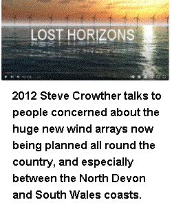
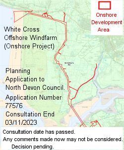 White Cross Offshore Windfarm Limited Planning Application Reference 77576 APPROVED by the Planning Committee.
 THE SEQUEL TO THE FALL OF THE CABAL. Part 17: Depopulation - Extinction Tool Number 10, Vaccination. MUST SEE !


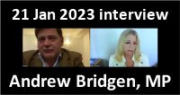
 Andrew Bridgen - Starmer The Warmonger - FreeNZ
MUST SEE. An interview with Liz Gunn (FreeNZ) and Andrew Bridgen.
Andrew Bridgen - Starmer The Warmonger - FreeNZ
MUST SEE. An interview with Liz Gunn (FreeNZ) and Andrew Bridgen.

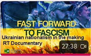
 I Blame Nazism - RT Documentary


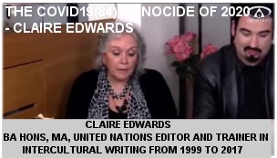


 Claire Edwards, BA Hons, MA, worked for the United Nations as Editor and Trainer in Intercultural Writing from 1999 to 2017.


 The Occulted Powers of the British Constitution (pdf)


 Tribute To A True Sovereign. Karen-Ruth Skolmli.
 Richard Vobes with Ruth Skolmli: Your Rights In 20 Seconds
") Common Law (Judiciary) versus True Common Law (of the Land).
Common Law (Judiciary) versus True Common Law (of the Land).


 versus True Common Law (of the Land).
This series of videos will help you to see there is remedy in knowledge, knowledge of the truth, knowledge of true law.
And we can use their legal sytem against them, against the ones who use it against us")
 On August 3, 1977, Cathy O'Brien testified to the 95th U.S. Congress to accuse Hillary Clinton of rape, and that she was a sex slave for Hillary and Bill Clinton 'who are bisexuals' affiliated in an elite sex trafficking ring that abuse and purchase and sacrifice children.


 TELEGRAM is a cloud-based mobile and desktop messaging app.
You've seen western TV and MSM. NOW see the TRUTH.
TELEGRAM is a cloud-based mobile and desktop messaging app.
You've seen western TV and MSM. NOW see the TRUTH.

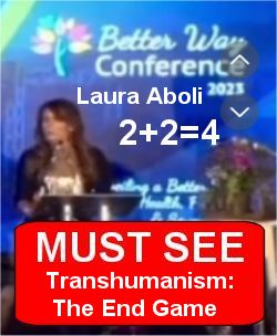
 ✓ Laura Aboli Channel on Telegram. Very Highly Recommended
ONLY active on Telegram and Instagram.
✓ Laura Aboli Channel on Telegram. Very Highly Recommended
ONLY active on Telegram and Instagram.


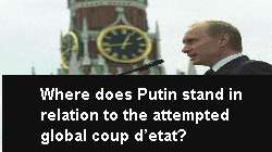


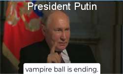
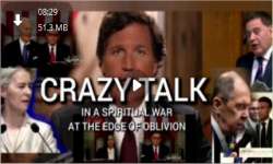
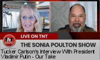
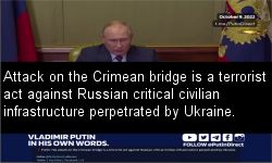
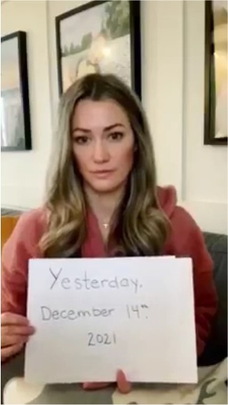
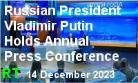 Vladimir Putin Annual Press Conference. 14 December 2023
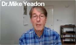
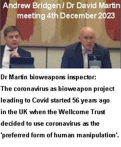
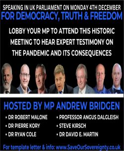
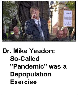
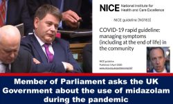
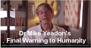
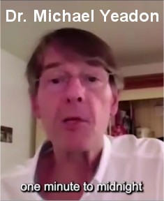
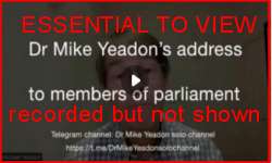 Dr Mike Yeadon: Address to members of parliamentary special meeting 4 December 2023
Be sure to See This !!
Dr Mike Yeadon: Address to members of parliamentary special meeting 4 December 2023
Be sure to See This !!


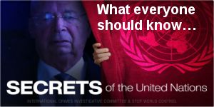
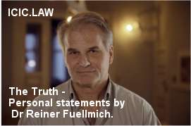 ICIC.LAW International Crime Investigative Committee

.
A UK Business that pays its Taxes and is based on genuinely helping people.")

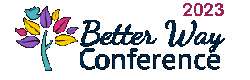 Better Way Conference 2023. Watch On Demand FREE.


 The Sovereignty & Referendums Bill.


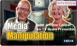 The frightening power of television
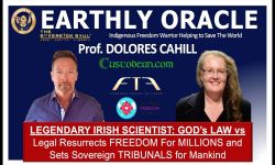
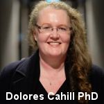 Dolores Cahill. https://ProfDoloresCahill.com


 Countdown To Control The countdown to complete control is underway.


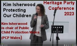 PCP Wales have been fighting RSE in schools for some years. We must protect our children
 Video Release


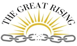 THE GREAT RISING.
MISSION STATEMENT.
THE GREAT RISING.
MISSION STATEMENT.
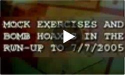 The Documentary 7/7 Ripple Effect Regarding the 7 July 2005 terrorist attacks in London .....


 program includes eight conversations, a special gala dinner, and multiple workshops all across four days.")


")
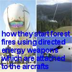
 Geoengineering Watch
 Join The Sovereign Fraternity


 Democracy Defined Campaign
Illegal arbitrary dispossession of homes, fabricated financial crises, unwarranted taxation, unemployment, and intolerable government molestation in the lives of innocent men and women, are all addressed herein. The catastrophic criminal inhumanity wrought upon whole populations by that miniscule number of men and women responsible for, and responsible for permitting (abetting) the Crime of Usury (money-lending-at-interest); fraudulent Fractional Reserve Lending; the issuance of national (and international) currency and credit at interest by non-national, de facto privately-owned "Central" Banks; the ubiquitous global crimes and lethality of International Monetary organisations and World Bank are confronted.
Democracy Defined Campaign
Illegal arbitrary dispossession of homes, fabricated financial crises, unwarranted taxation, unemployment, and intolerable government molestation in the lives of innocent men and women, are all addressed herein. The catastrophic criminal inhumanity wrought upon whole populations by that miniscule number of men and women responsible for, and responsible for permitting (abetting) the Crime of Usury (money-lending-at-interest); fraudulent Fractional Reserve Lending; the issuance of national (and international) currency and credit at interest by non-national, de facto privately-owned "Central" Banks; the ubiquitous global crimes and lethality of International Monetary organisations and World Bank are confronted.
 Heritage Party Freedom - Family - Nation Join the
Heritage Party as a member £25 One-year membership
Heritage Party Freedom - Family - Nation Join the
Heritage Party as a member £25 One-year membership


")


")


 PlandemicSeriesOfficial on plandemicseries.com


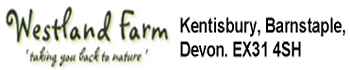 Welcome To Westland Farm. Taking You Back to Nature.

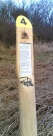 Along the Tarka Trail are 21 "discovery posts" with information on the history and wildlife of the Trail and the places it passes through. Each post has a number on the top that relates to an audio clip where you can find out more. These clips have been recorded by people involved in the management and heritage of the trail including Northern Devon Coast & Countryside Service, The Environment Agency, North Devon Museums, The RSPB, Natural England and Butterfly Conservation. Download these clips to your MP3 player or phone and find out about some of the things that make the Tarka Trail a unique experience
 website
 Google Map


 The Daily Expose